
Big Snowies High Route
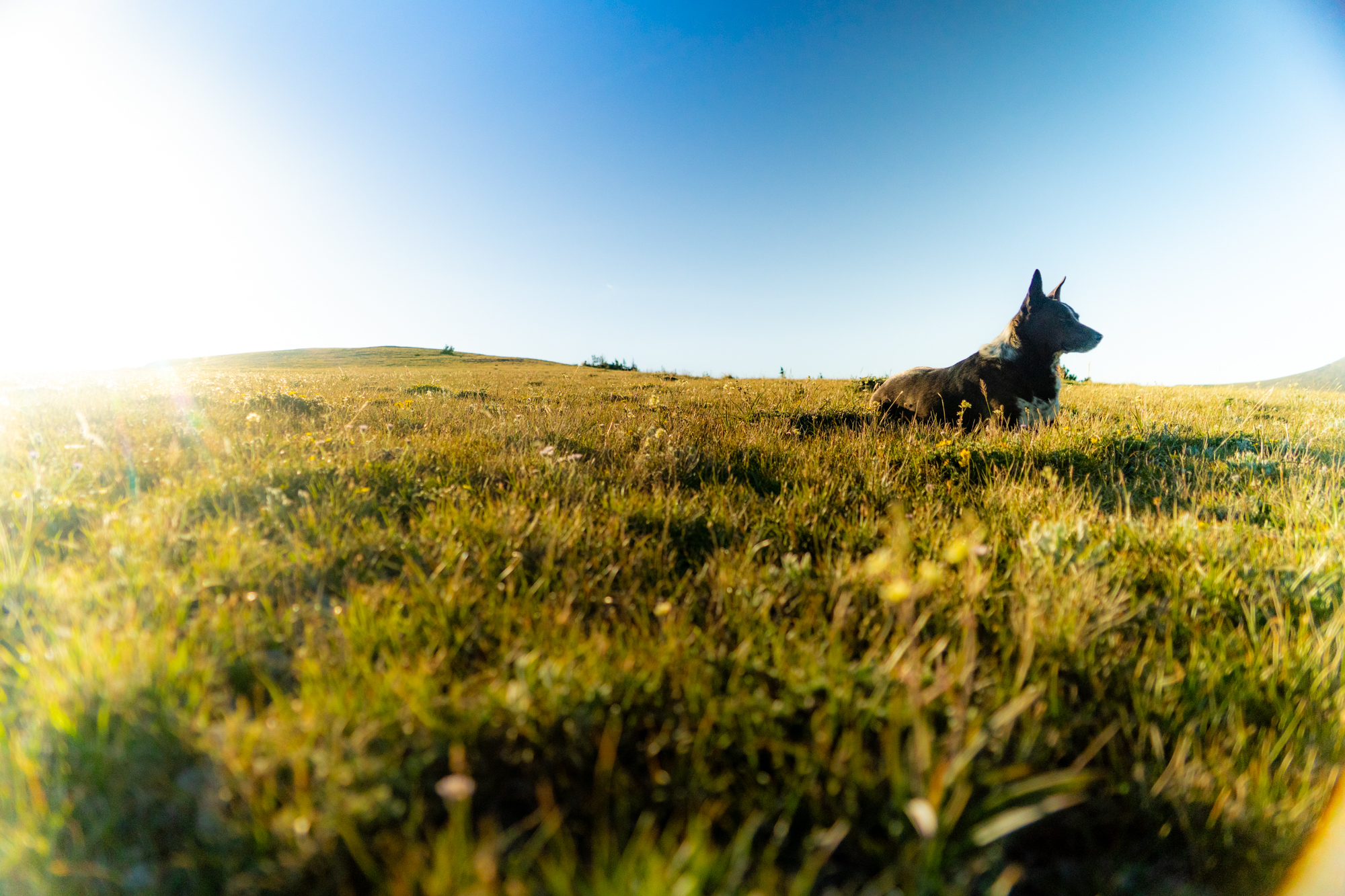
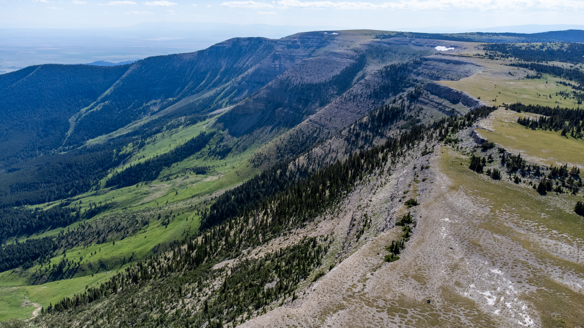
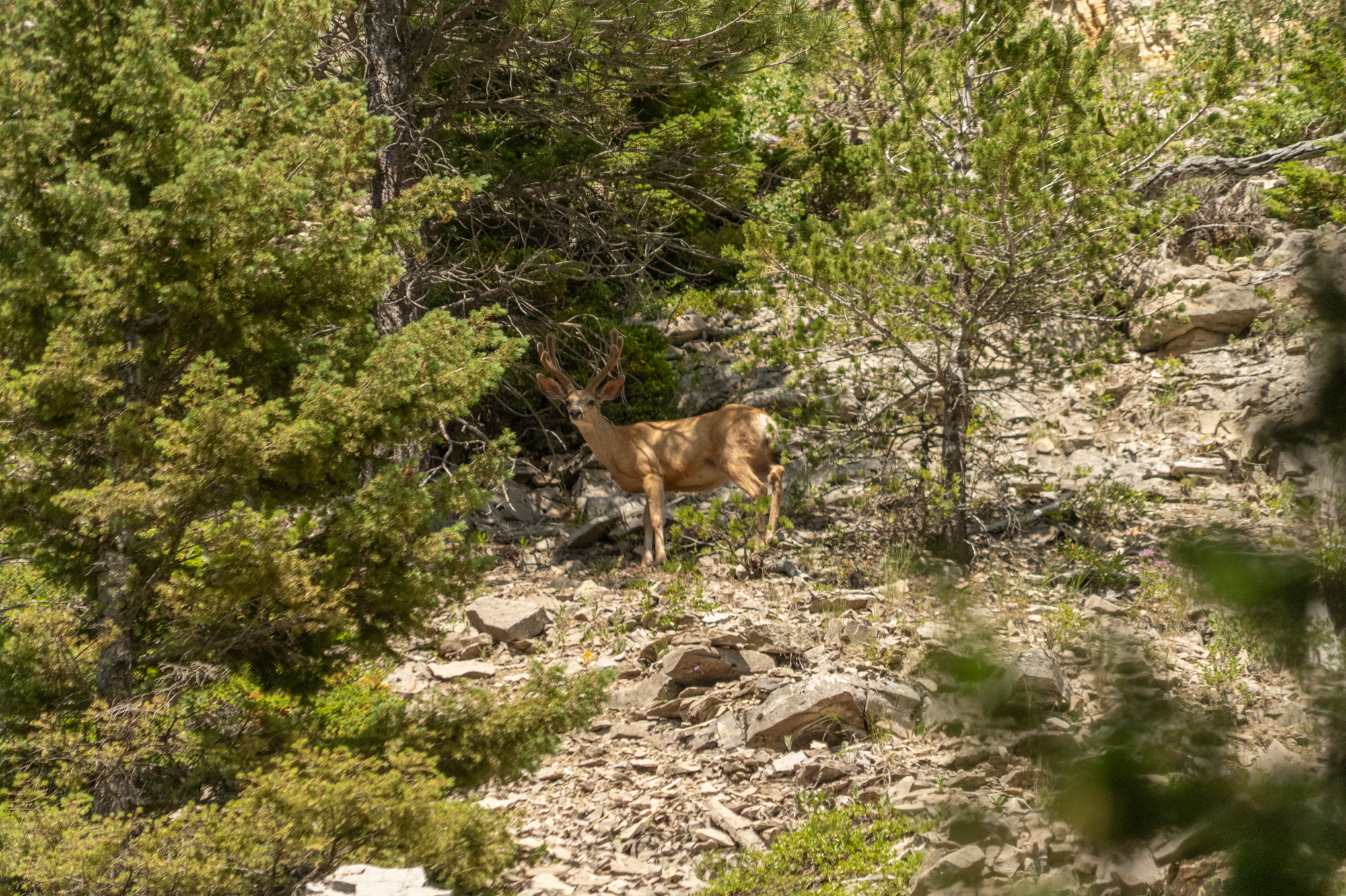
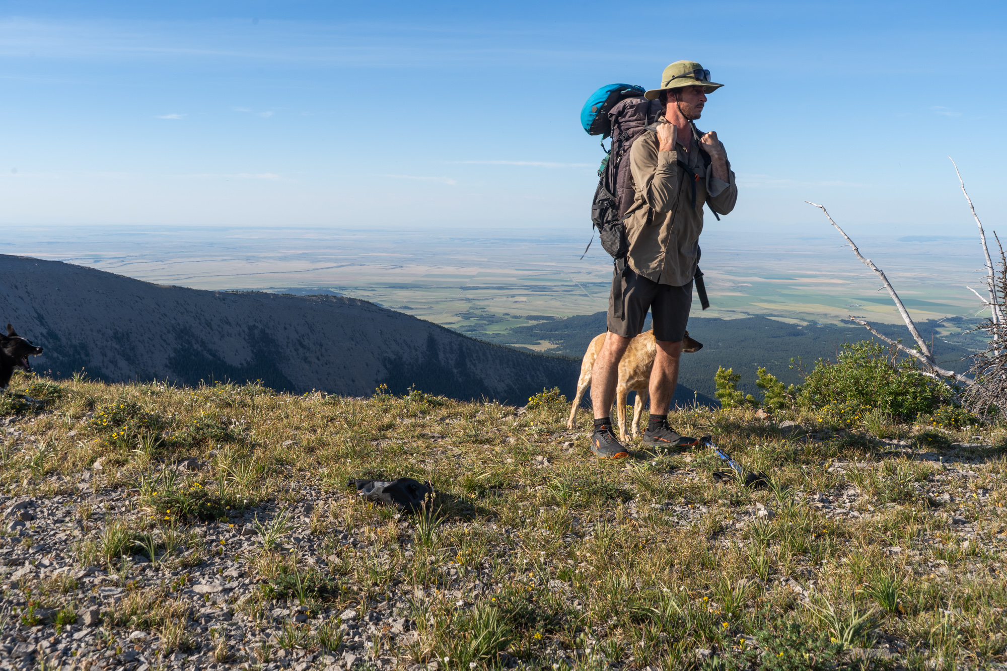
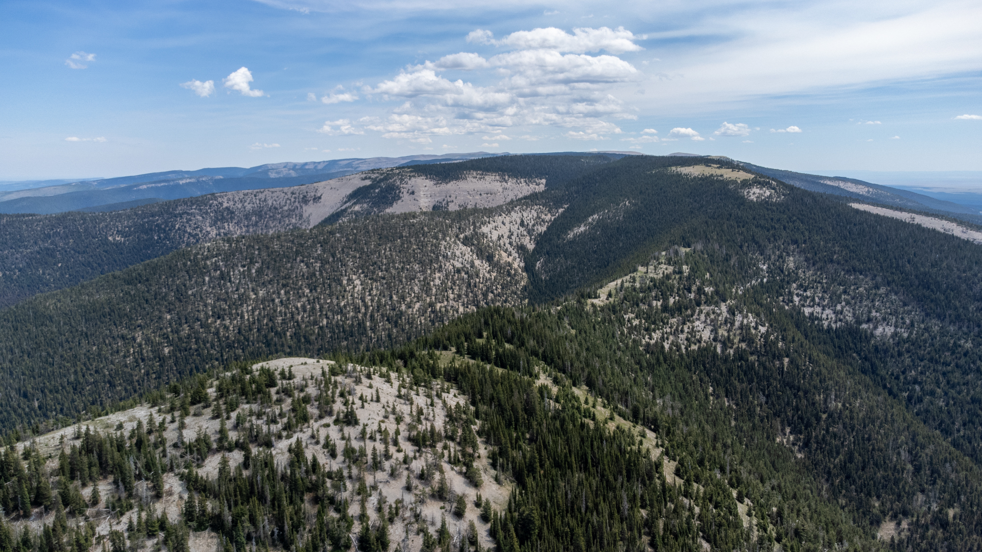
The Big Snowies are a small isolated mountain range in Montana. They are farther east than most of the Montana Ranges, giving them a unique feel and they stand very much on their own. Don't let the small size of the range fool you. The mountains themselves are still big and you'll find the same rugged features here that you would in other Montana ranges. One thing that makes the range unique is that the tops of the mountains are mostly high grassy plateaus instead of sharp rocky ridgelines. This makes for extremely pleasant high alpine hiking and a very fun traverse across the entire range.
Difficulty Rating: Hard
Stats

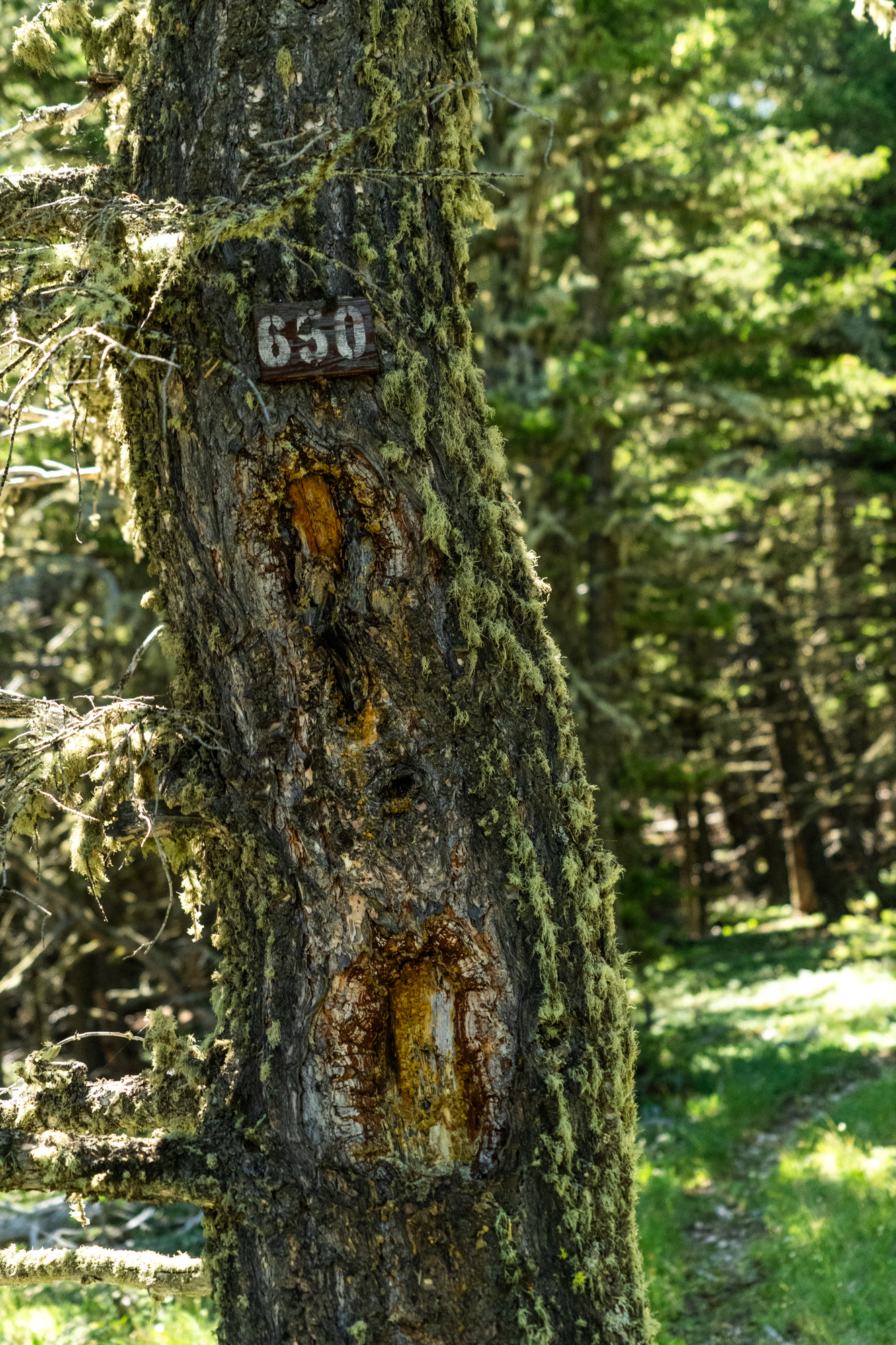
Getting There
You’ll want to shuttle a car to the terminus you plan on finishing at. Road access to both ends of this route is good. However, you’ll be driving on long dusty roads. It takes a few hours to complete the shuttle. Both the Ice Caves Trailhead and the Big Snowy Trailhead are easy to get to.
The Route
I hiked this route from east to west. That's the way it will be described below. In hindsight, it might be easier to hike it from west to east. The descriptions below describe the days that I hiked the route, but your mileage and experience will almost certainly differ.
Day 1: 6.2 miles
Summary: Long and gradual climb to the ridgeline.
Starting at the Big Snowy Trailhead on the east end of the route, you have a long climb that takes you directly up to the spine of the Big Snowies. It's about 4 miles and about 2,000 of elevation gain. Make sure you start out with plenty of water. There are no water sources along the way and you won't find any water until you come back down from the ridge the next day. I camped on the ridge shortly before the descent back down to the Swimming Woman Valley.
Day 2: 11.5 miles
Summary: The hardest day. It involves descending from the ridge through a tricky crux. Then a big climb back to the ridge, where you'll need to carry a lot of water for the rest of the trip.
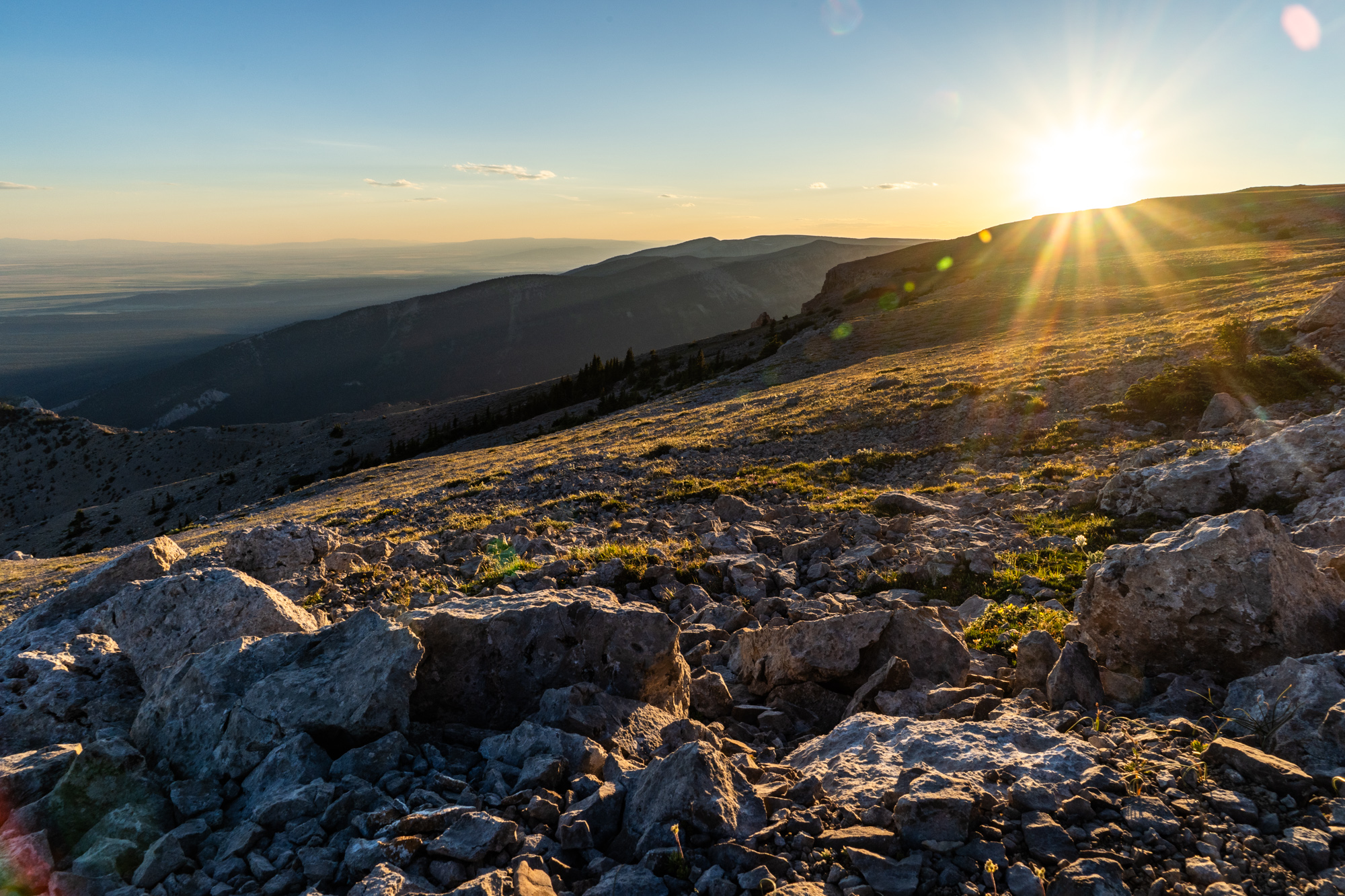
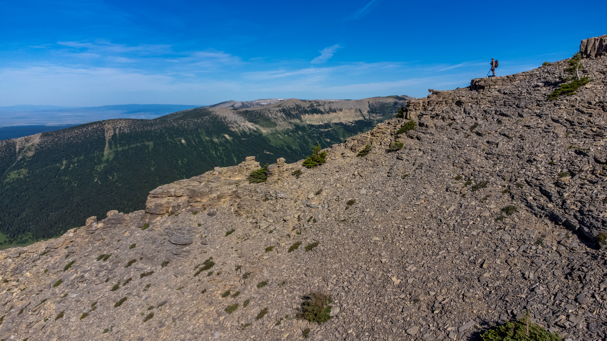
The morning starts out with figuring out how to get down from the ridge. The main spine of the Big Snowies breaks here so you can't follow it. You have no choice but to go down then back up to the ridge. Getting down from the ridge involves some careful navigating around a couple of small cliffs on loose scree. If you're familiar with this kind of navigation, then it's not very difficult. You'll follow a knife edge ridge for a ways before leaving the ridge to descend down to the valley on a steep loose scree covered slope.
Once in the Swimming Woman valley get your fill of water because it's the only reliable water source on this whole route. If you can time a campsite here that would make sense and save you some water carries.
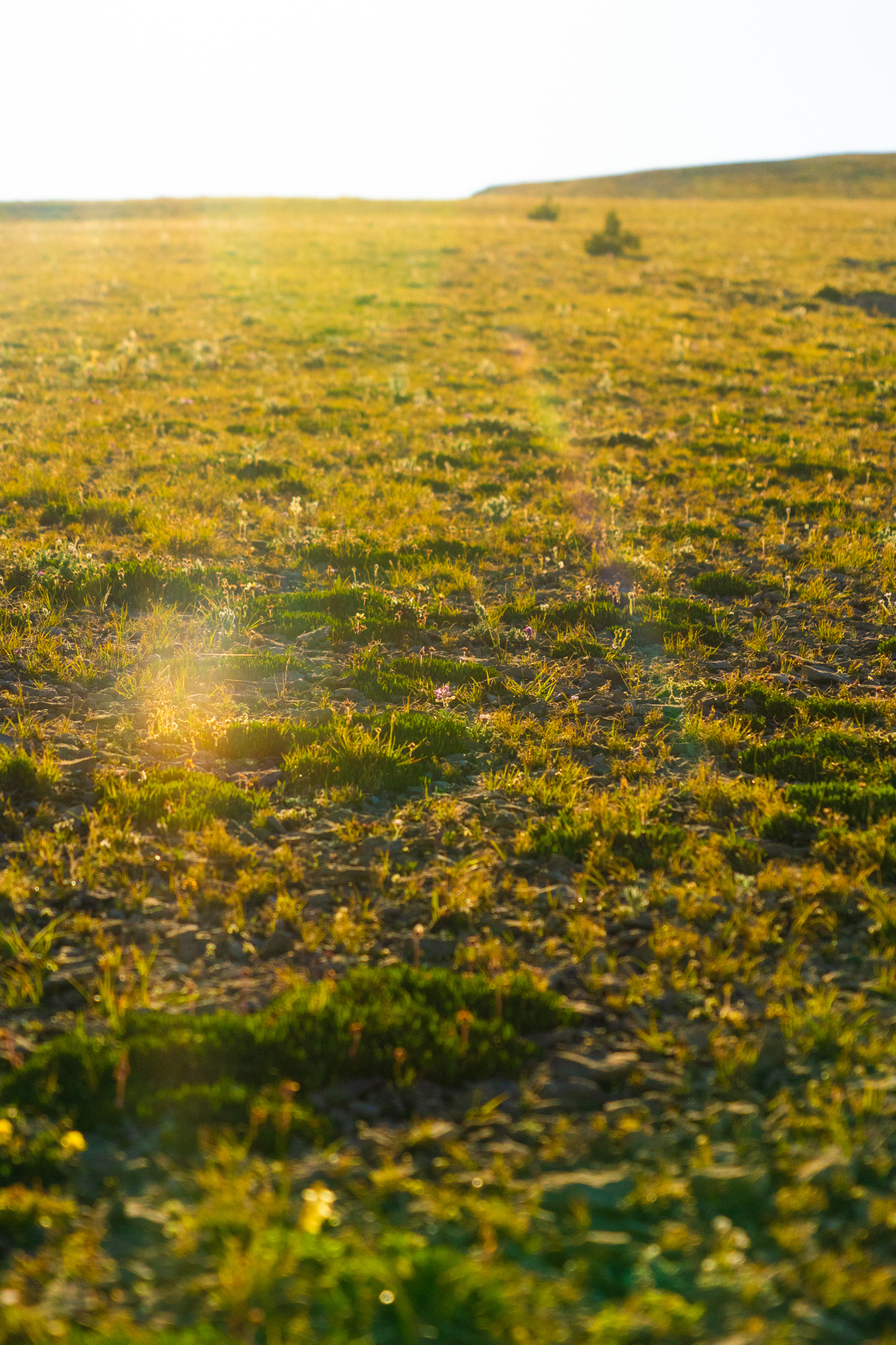
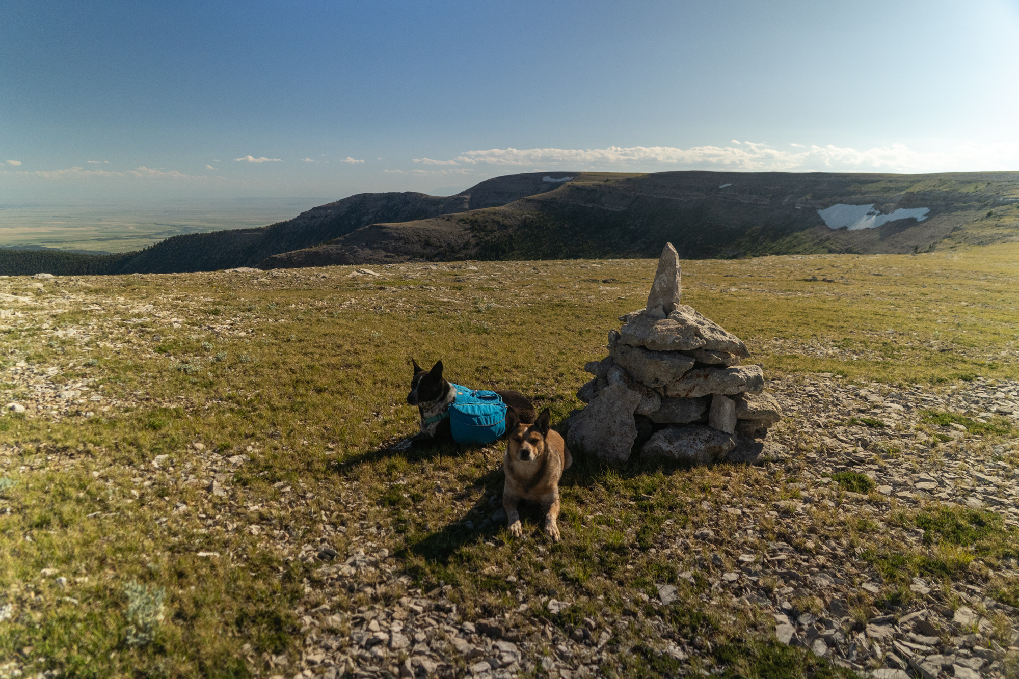
Gain the ridge again and make sure you fill up on water for the next day and a half at the top of Swimming Woman Creek. Once back on the ridge, it's smooth sailing for the rest of the day. This is really the scenic highlight of the whole hike. The ridge is more like a grassy plateau in the sky and the hiking is surreal. Campsite options with good views are limitless.
Day 3: 9 miles
Summary: Finish out the ridge then take a trail down to the Ice Caves Trailhead.
The rest of the hike is very straight forward. Continue following the ridge. Sometimes there is a trail, sometimes there are only cairns to follow but navigation is easy. When you come to the junction with Grand View Trail at West Peak, leave the ridge and head north down the trail. Keep an eye out for a cutoff trail that will save you some mileage.
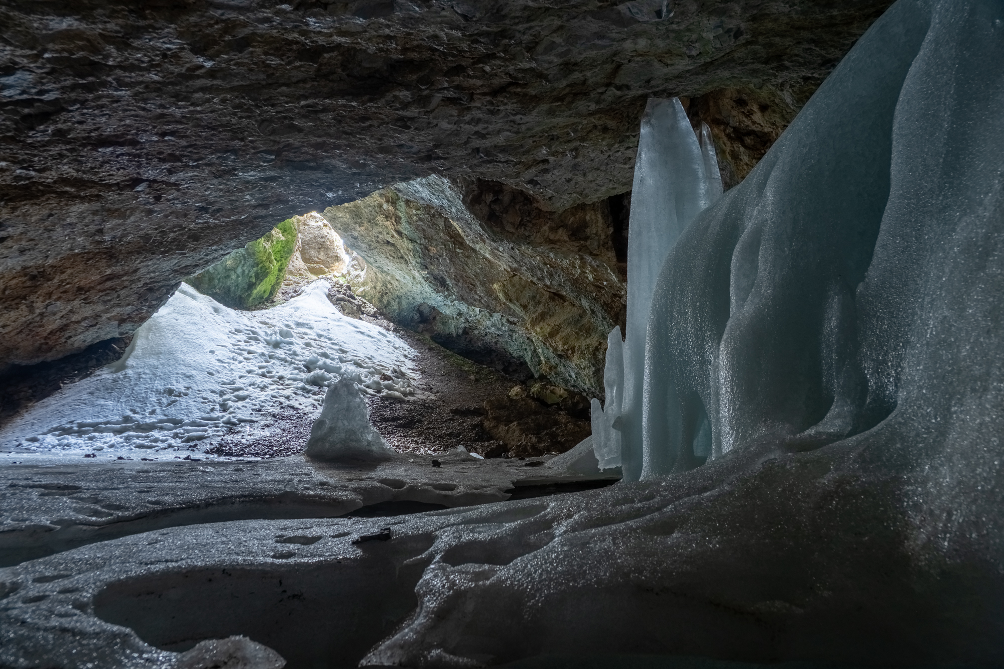
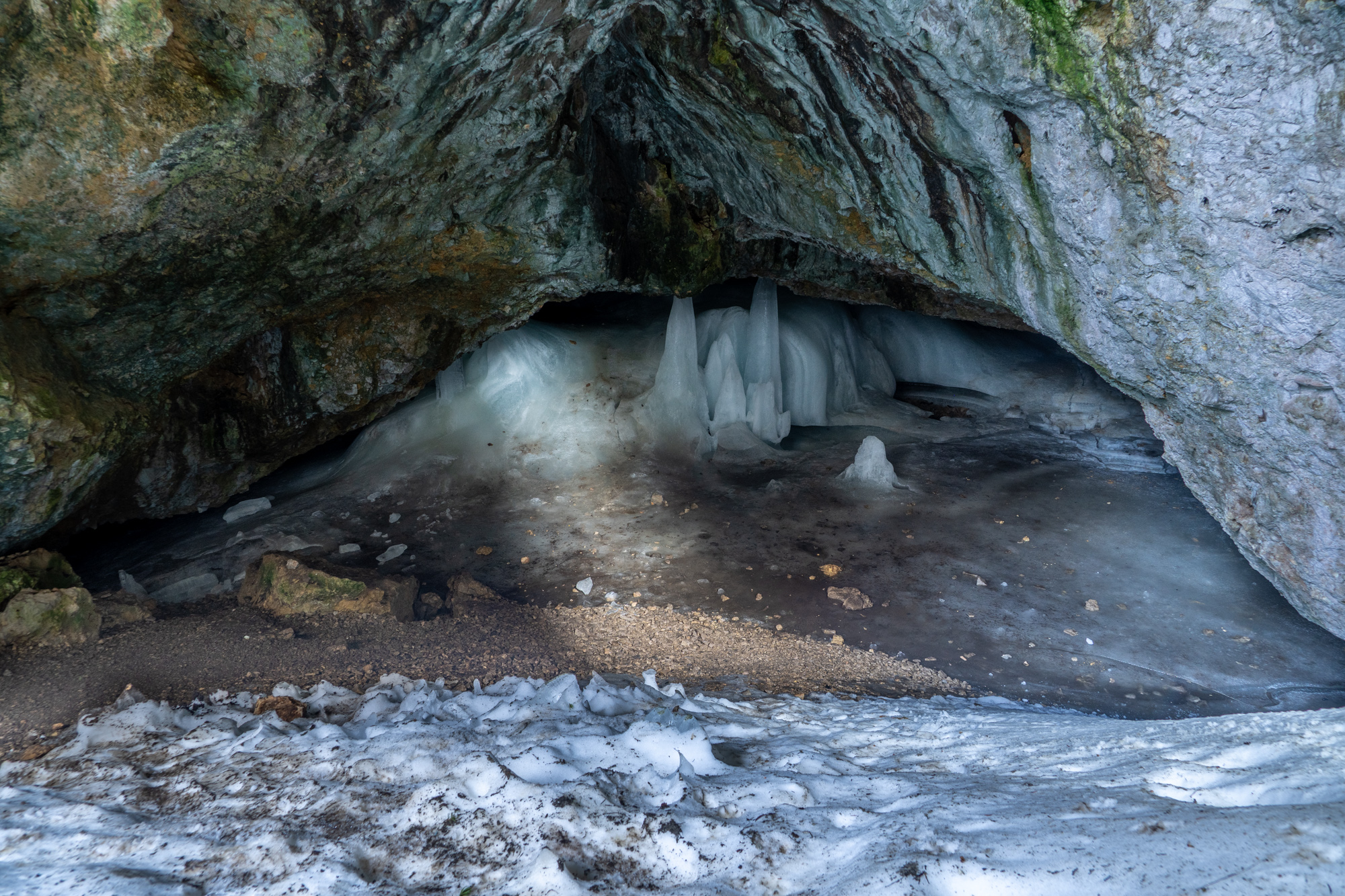
Just before getting to West Peak, you'll see signs for "Ice Cave" It's about a mile round trip and some elevation change but it's definitely worth it if you have the time. A very cool feature. You might also find water there.
When I hiked this, I did not end at Ice Caves Trailhead, I continued along the ridge in an attempt to hike as much of the ridge line as possible. I ended at the end of Dry Pole Creek Trail. For multiple reasons, I think you're better off just ending at Ice CavesTrailhead. The extra bit of ridge line is nice, but descending from the ridge was a horrible bushwhack where there should have been a trail and there is some private property you have to skirt around. It wasn't worth it.
Best time to hike
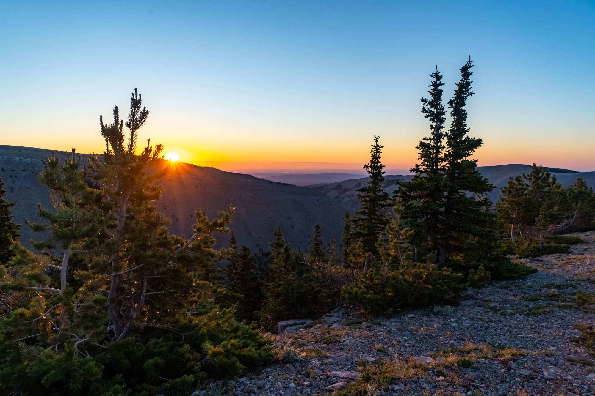
I hiked this in mid-July. That was a good time to hike it. I had beautiful weather but thunderstorms could be an issue with this route since you are exposed much of the time. With that being said, the advantage of hiking earlier in the summer might be worth it because there will be more snow left on the ridge. More snow means more opportunities for water. Since the ridgelines are so dry, that would be helpful.
What to bring
This route doesn’t get too technical. With water carries being one of the biggest challenges, you’ll want to have the capacity to carry at least 6 liters. Temperatures remain pretty warm, even up high.