
The Beaten Path in Montana's Beartooth Mountains
The Beaten Path is a 27.5-mile end-to-end trail in the Beartooth Mountains in Montana. This trail is in excellent condition, the hiking is pretty easy the whole way, and the views are incredible. All around it's an extremely enjoyable hike. The only downside is that it's fairly popular, so you won't find a ton of solitude on the trail. Once you are up on the plateau, there are plenty of opportunities to hike off-trail or take a side trail to get away from the crowd. Starting at East Rosebud Lake, you'll have a long gradual climb past many alpine lakes to get up onto the Beartooth Plateau. Once on the plateau, there are endless lakes to explore in a very surreal alpine environment. There's also world-class fly fishing along the whole hike.
Difficulty Rating: Easy
Stats
Interactive Map
Getting There
Since this is an end-to-end hike you'll want to have a shuttle car at the end of your hike, which is easier said than done. The Beartooth Mountains are remote and huge. It takes almost 3.5 hours to drive from one end of the trail to the other, assuming the Beartooth pass is open. If it's not open then it's more like 4 hours and 45 minutes. On a side note, the Beartooth Pass offers incredible scenery on its own and you may want to spend some time there. You'll be driving at a higher elevation than the trail goes.
You can start at either end of this trail, but I'd suggest starting at East Rosebud Lake so that when you finish you can make a stop in Cooke City for some good food. There are no amenities near East Rosebud. That means dropping a car at the Clarks Fork Trailhead. If you're coming from the west you'll have to drive through Yellowstone National Park to get there, so keep that in mind if you don't have a national parks pass.
The Route
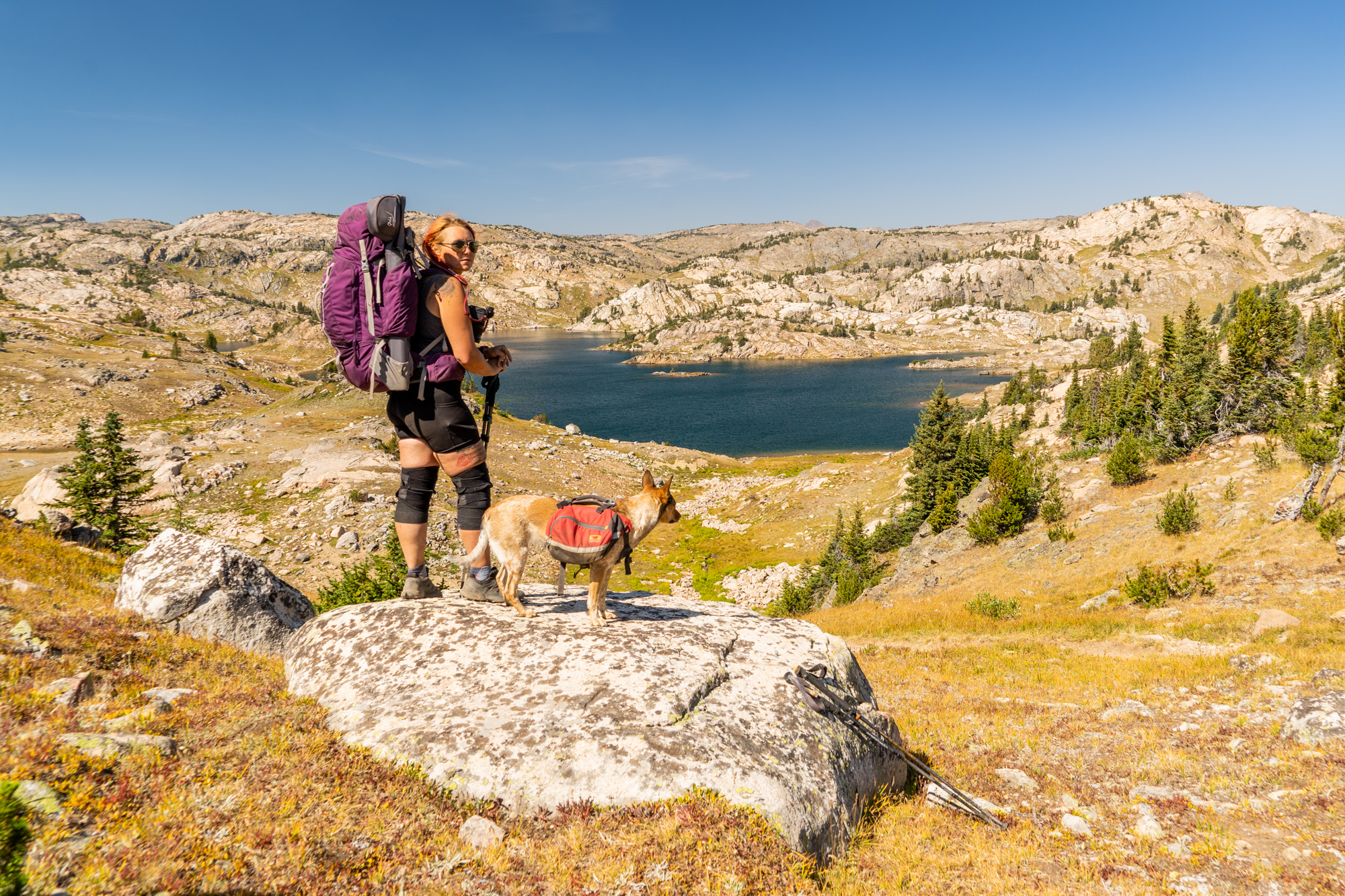
Summary: We spread this hike out over four days so we could really enjoy the scenery and go fishing in many of the endless lakes along the trail. Some people run this whole trail in one day, so it's up to you what kind of pace you want to set.
Starting at East Rosebud Lake you'll take the East Rosebud Trail up the canyon. The mountains will grow up around you, continuously getting bigger with each pass. The trail is well-marked and easy to follow the whole way. Elk Lake, about 3 miles in offers some good places to camp. Basically, every lake along this trail has good places to camp. You'll pass Rimrock Lake, then Rainbow Lake, then Lake at Falls, then Big Park Lake. At this point, there is a small side trail going up to Echo Lake; if you want to get off the trail and away from the crowds.
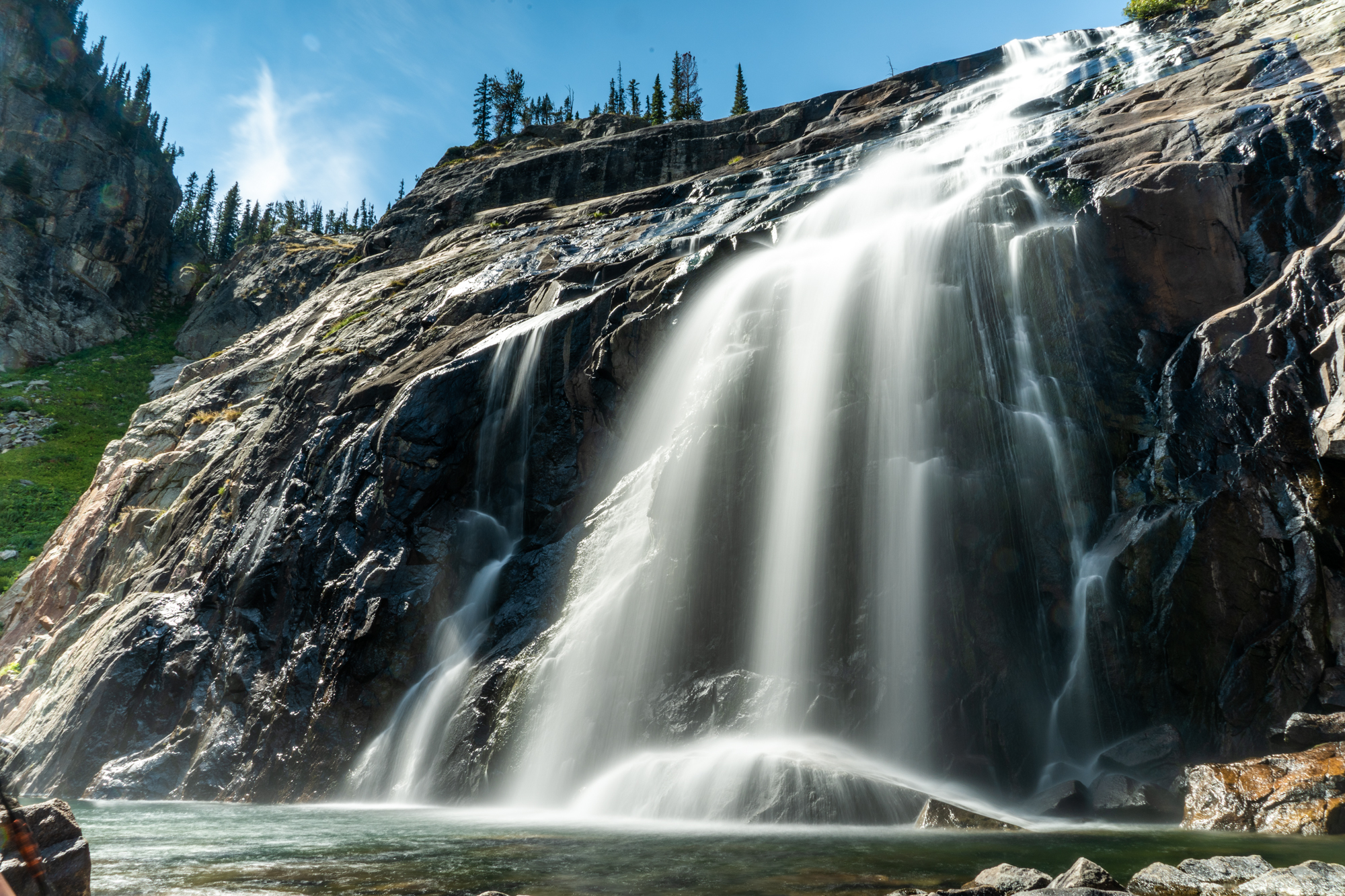
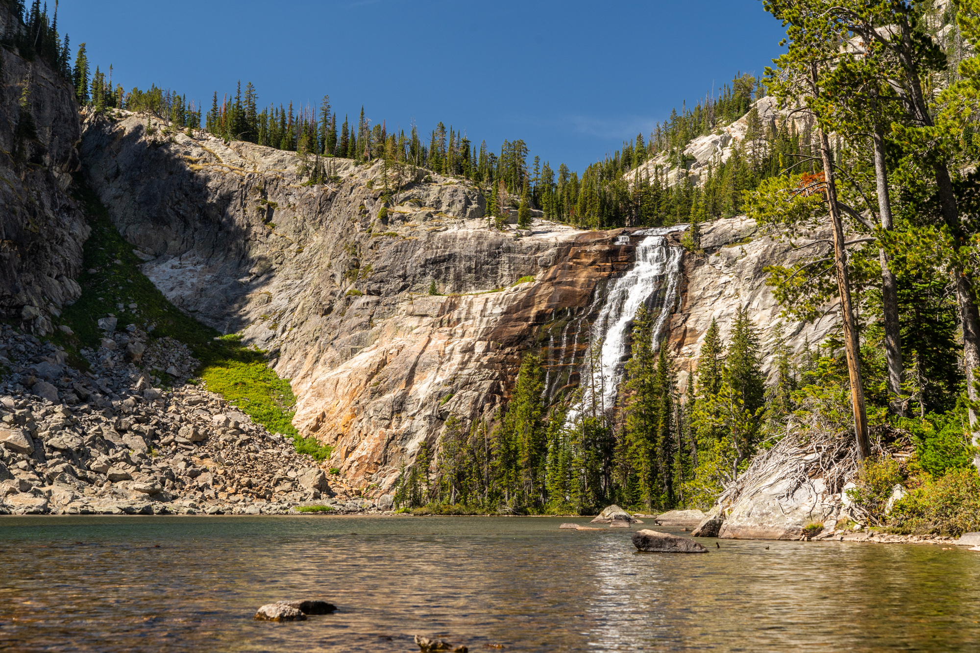
Continue uphill past Duggan Lake, Twin Outlets Lake, and Dewey Lake. There's an incredible waterfall at Duggan Lake. Now you're up on the Beartooth Plateau, and hopefully, the weather is decent because there isn't a lot of shelter up here. Feel free to leave the trail here and explore in any direction. You'll find endless alpine lakes and the off-trail hiking is easy, just keep track of where you are going. The trail takes you past Fossil Lake, Fizzle Lake, and many other smaller unnamed lakes. Then it's a gradual downhill to the trailhead. The trail will become the Russell Creek trail as you pass Russell Lake and you begin to enter the forest again. Then Kersey Lake will be your last lake before reaching the trailhead. If you're hungry head into Cooke City, one of Montana's many remote outposts with few people and a lot of character.

Best time to hike
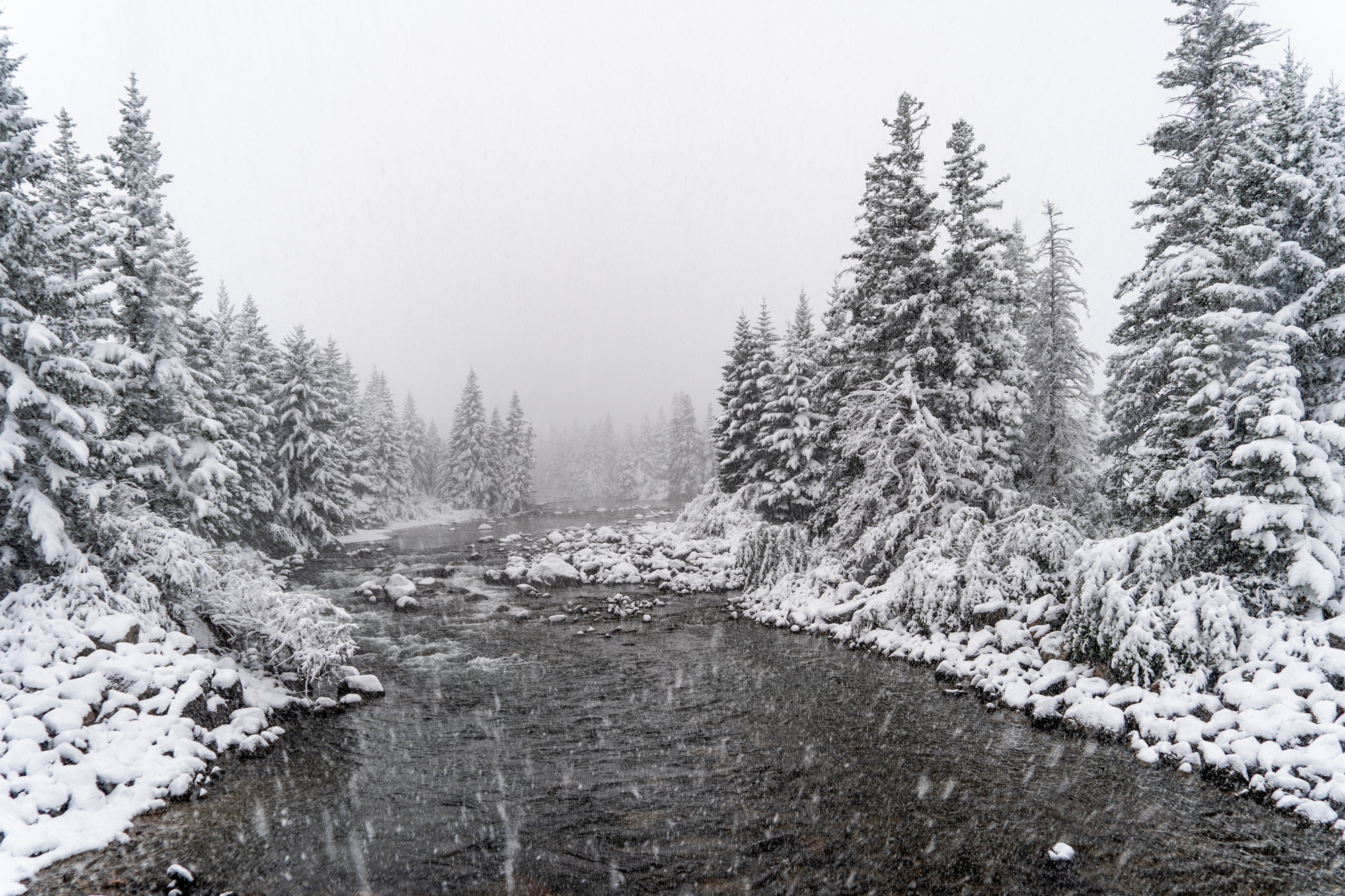
Mid-July through early September. The Beartooth Plateau is high and very exposed, it's prone to extreme weather changes. Even early September can be pushing it with snow. When we hiked it September 4th-7th it was beautiful weather during the hike, but it snowed about 6 inches during our drive from Cooke City back to East Rosebud. We just barely made it through the pass before they closed it.
What to bring
Even in the middle of summer, you can expect temperatures to drop into the 40's or lower at night. During the day it may reach into the 90's. Navigation is especially tricky on this one because there are so many burn areas where the trail has been destroyed. Normally a paper map and compass would suffice, but on this route, I'd suggest having a .gpx track on your phone or another GPS device so you know exactly where you are.
- Clothes
- Backpacking Gear
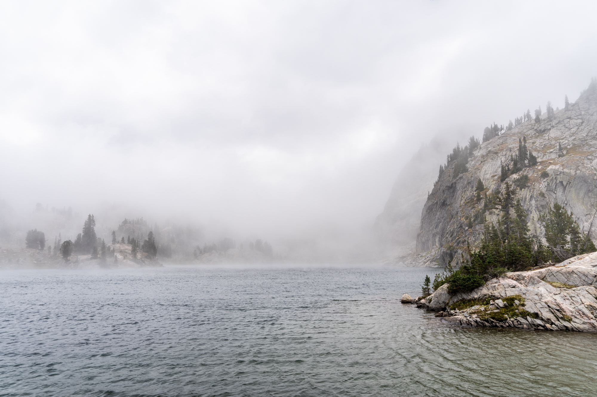
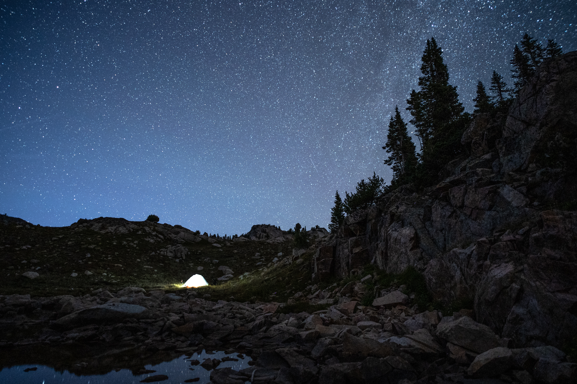
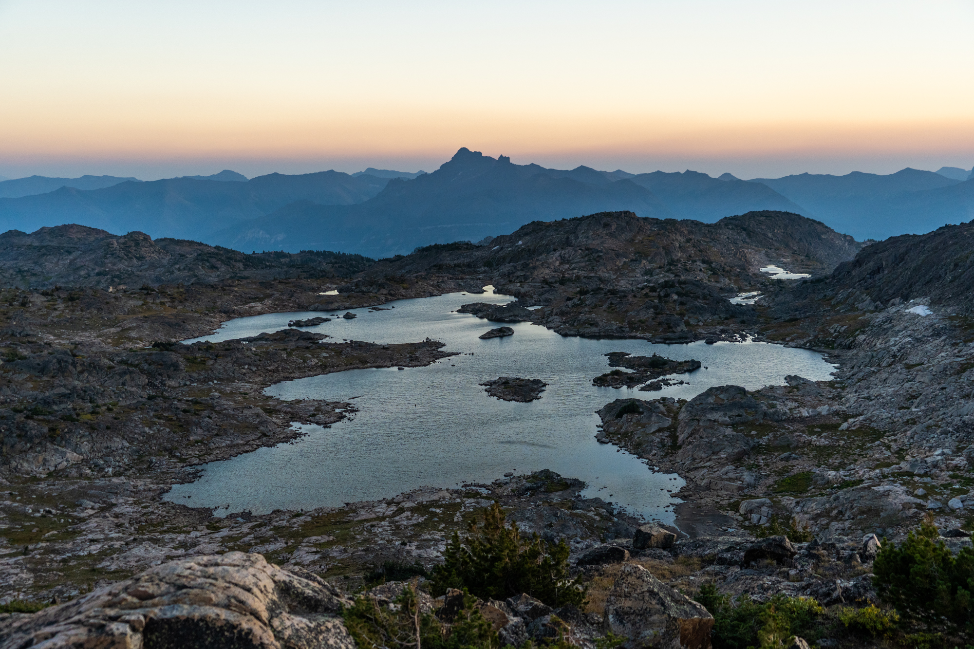
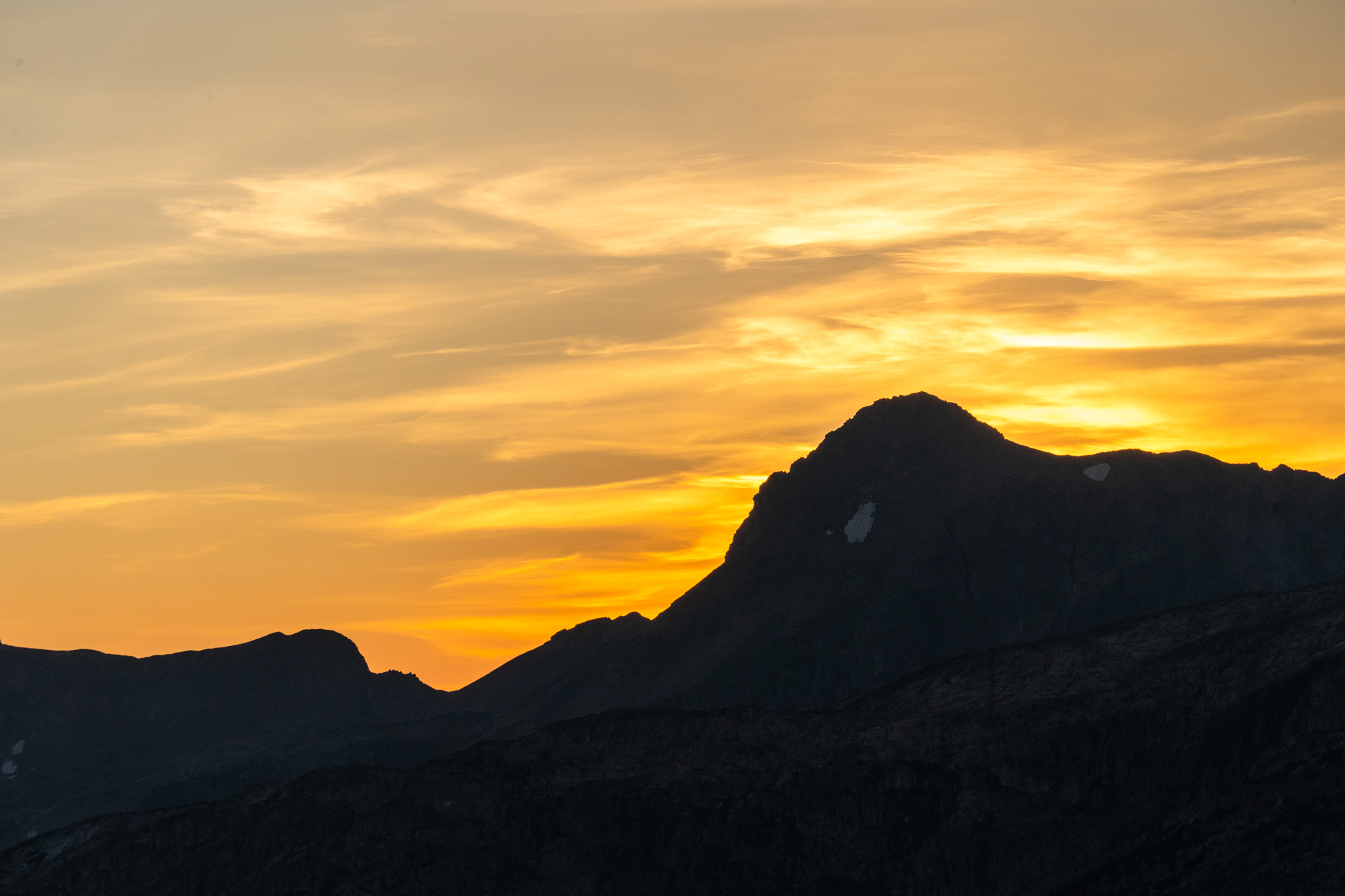
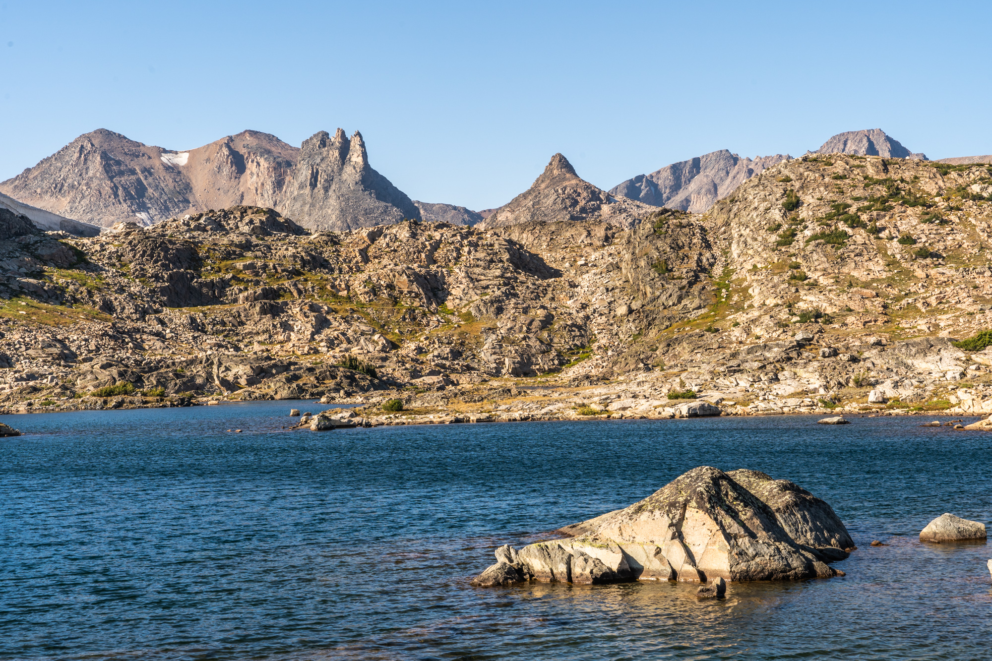
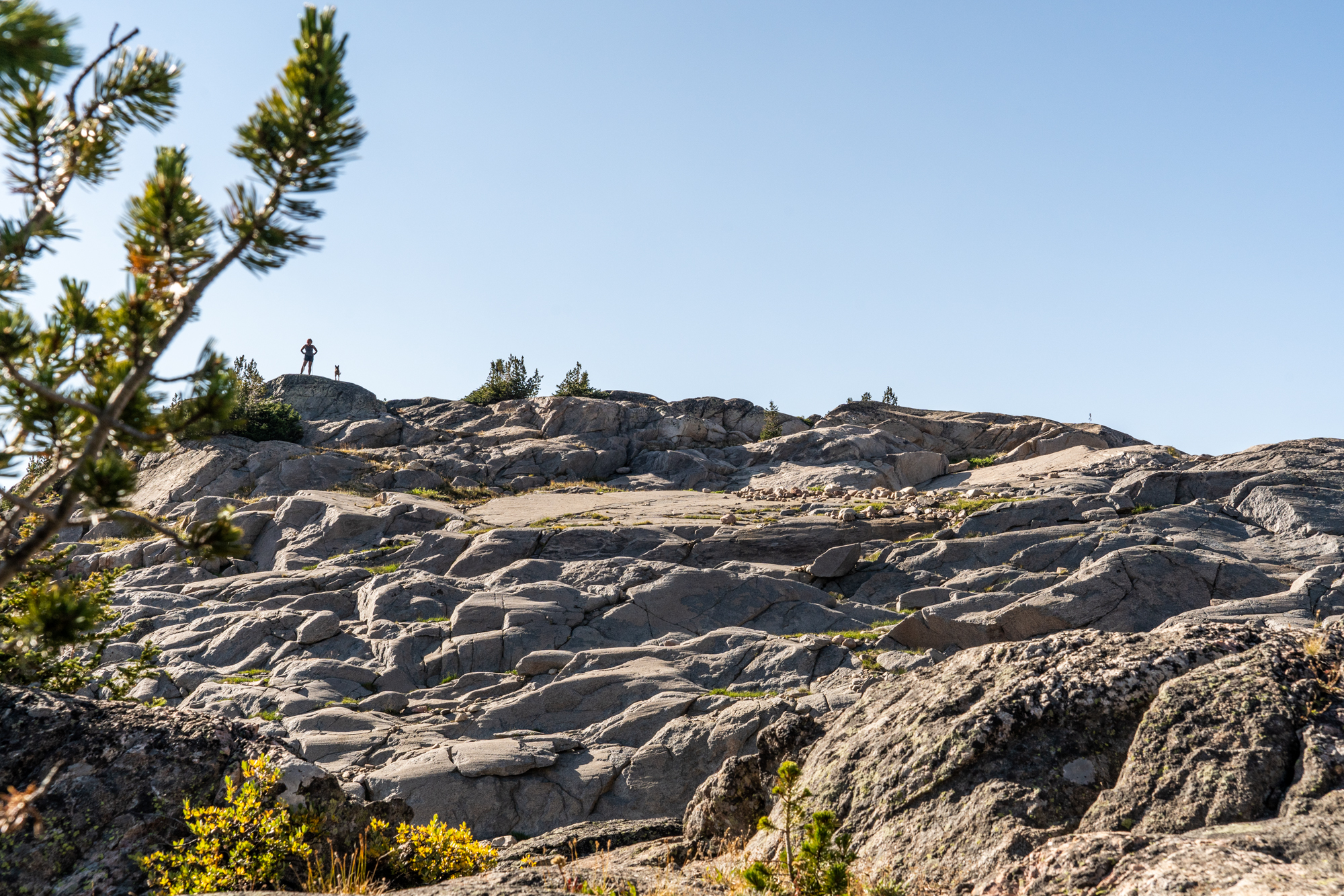
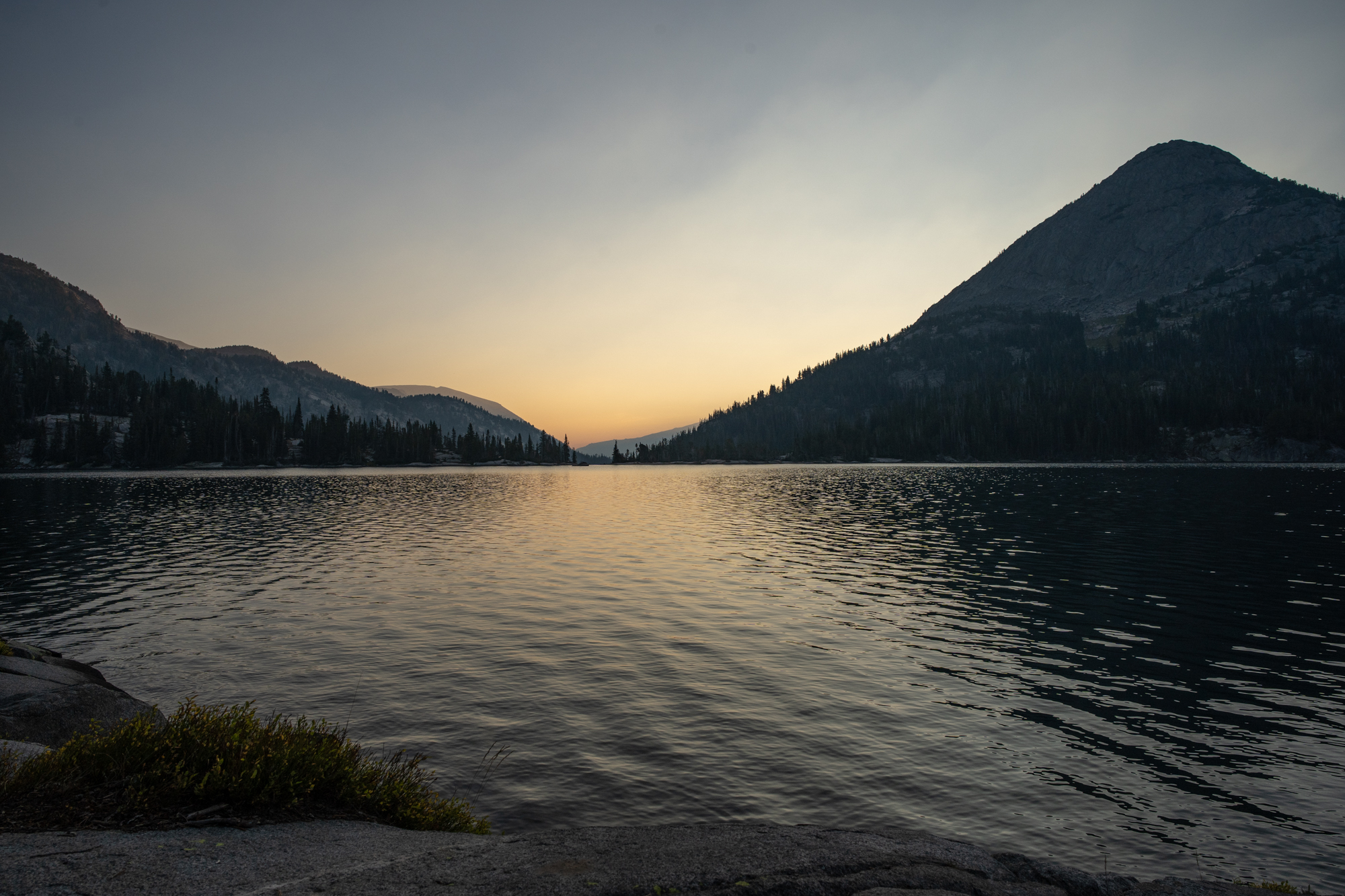
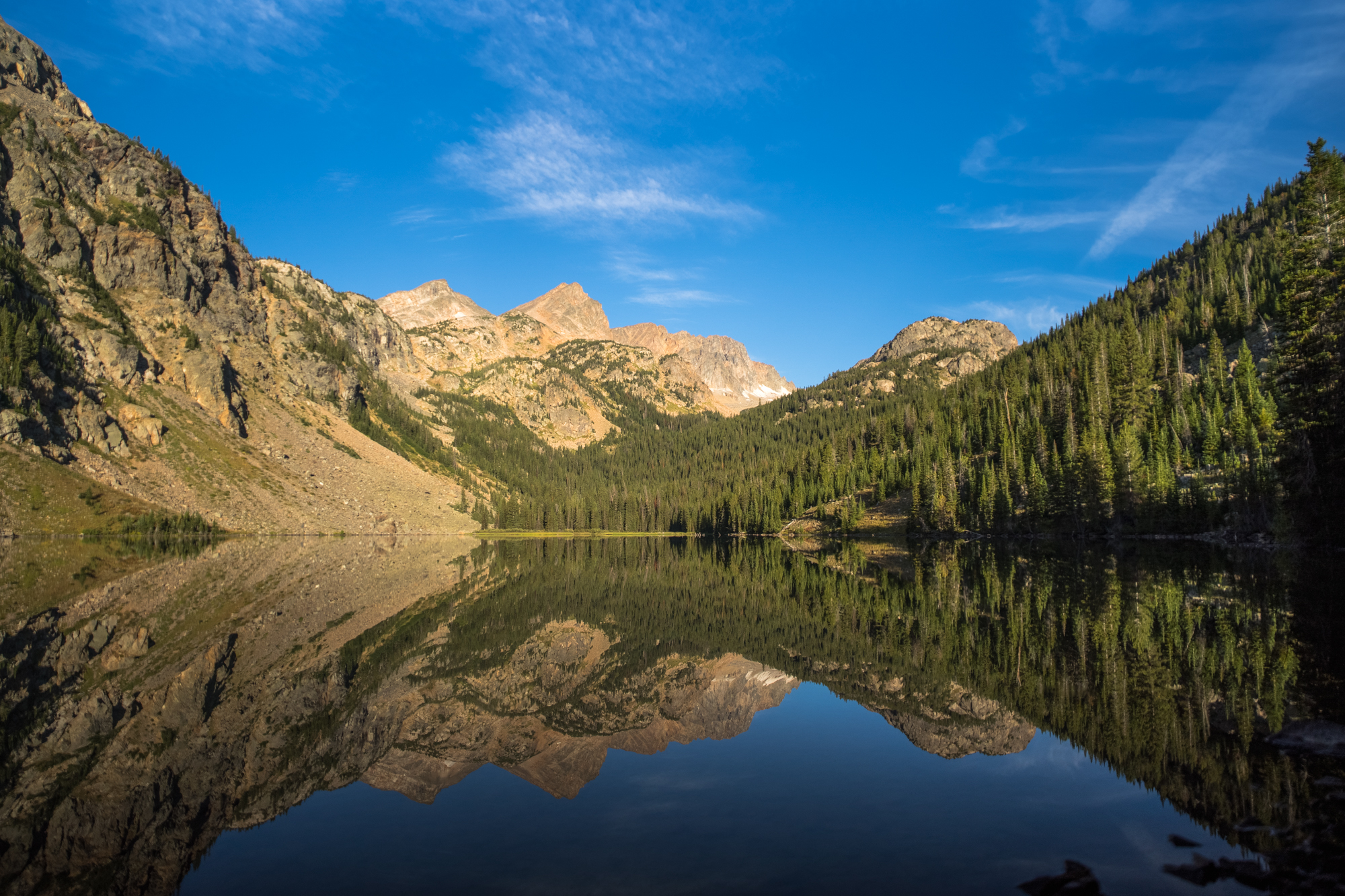
Scenery from the hike.